OMG! Toronto *finally* has a transit route planner
October 26, 2008, [MD]
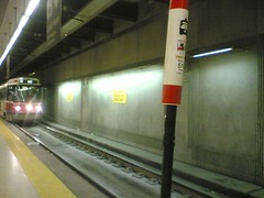
CC BY sillygwailo @ flickr
I must be completely out of the loop. Not only has Toronto finally gotten a decent TTC (public transit) route planner, of the kind where you can type in two different intersections or addresses, and it will tell you what different buses, streetcars and subways you have to take, but it went live 3 months ago, and I didn’t hear about it until now!
Oslo had this kind of a system back in 1997, if I remember correctly, at trafikanten.no, and I used it very frequently when visiting the capital, and later when I lived there. So, when arriving in Toronto in 2004, I just naturally assumed that the TTC would have such a service. Not true. Back then, even their website was incredibly fugly - that has improved a lot since then. I was so frustrated by the lack of a trip planner that I once tried writing one myself, when I was learning Ruby. I quickly gave up trying to screen-scrape and parse the data. Then, when Google Transit launched, I was again super excited, but much time has passed, and it didn’t happen.
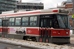
CC BY veggiefrog @ flickr
But one of the things that makes Toronto a great place to live, is the number of young (and not so young) really committed “urbanists”, whether it’s the Spacing crowd, the NewMindSpacers, the people who wrote uTOpia, or a host of others, they love the city, and want to make it better. Out of this group came the transitcamps - unconferences on how to improve the transit system in Toronto. And out of transitcamp came Kieran Huggins and Kevin Branigan, who made myttc.ca.
They did a huge amount of work screenscraping data from the TTC site, fixing it up into a sensible data format, and creating a great site around it. Not only can you type in two addresses or intersections and have the path calculated, with instructions and a Google-map, but their entire data feed is available for anyone who want to build new applications on top of it. They also have an amazing animation of a day in Toronto, showing all the buses, subways and streetcars as they move around.
Here is a more detailed article from the Torontoist, and the initial e-mail announcing the launch.
It can still be improved in some ways, for example it would be nice if you could search for buildings and places, and not just addresses. Like typing in from UTSC to Robarts - maybe there could be a Wikipage where people added places, or what about importing GPS data from Wikipedia articles about Toronto (if they have them)… They are also thinking of adding SMS and WAP interfaces, Twitter feeds, and lots of other goodies.
What I would love to see is the TTC embracing this, giving these guys some money, and more importantly, lot’s of great data! Sadly, given the experience we have with the TTC, that’s not very likely, but one can always hope.
Stian
Stian Håklev October 26, 2008 Toronto, Canada comments powered by Disqus